Scenery Mapping and Planning
"It was not that the jagged precipices were lofty, that the encircling woods were the dimmest shade, or that the waters were profoundly deep; but that over all, rocks, wood, and water, brooded the spirit of repose, and the silent energy of nature stirred the soul to its inmost depths." Thomas Cole
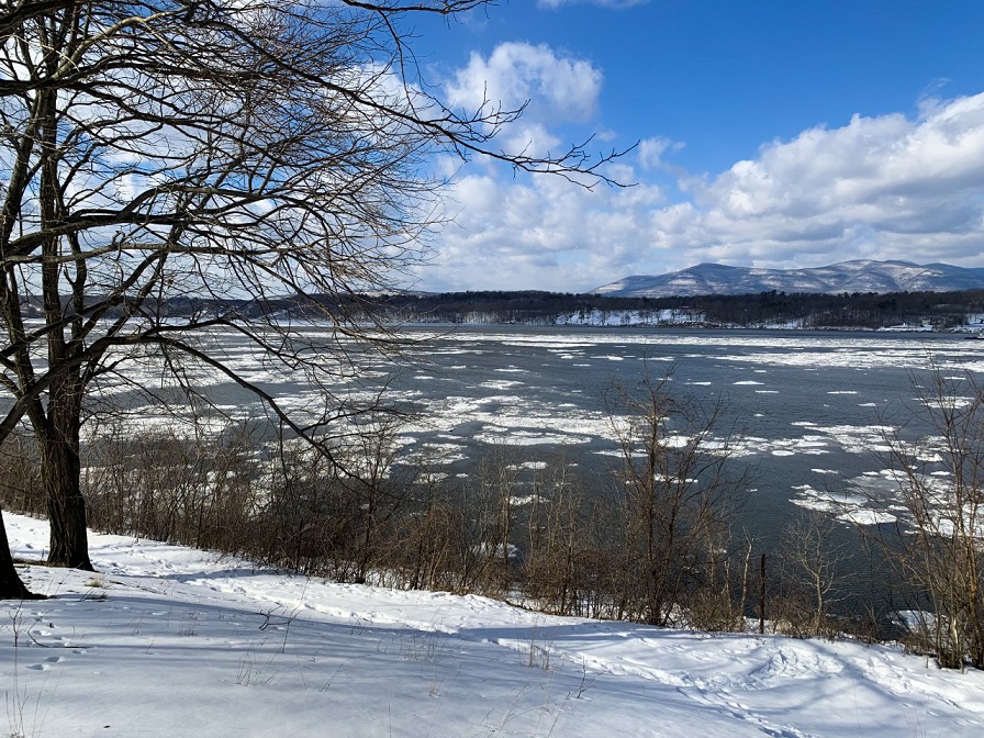
The scenic beauty of the Hudson River estuary watershed has provided solace and inspiration to generations of residents and visitors. The Hudson River School, America’s first major art movement, immortalized the region’s iconic scenery through the work of painters like Thomas Cole and Frederic Church.
In addition to creating a sense of place, views of natural landscapes can have direct economic and health impacts, benefiting residents and visitors alike. Natural scenery is the backdrop for New York State’s nearly $115 billion-dollar tourism industry, the state’s third largest employer. Furthermore, numerous studies document the health benefits of viewing nature, including reduced stress, improved mental health, and increased academic performance.
How can municipalities map and protect natural scenery?
For municipalities to protect their scenery, they first need to understand where it is. The process of mapping scenic priorities should involve robust public input to reflect the values of community residents.
Resources available to guide scenery mapping and protection in the estuary watershed include:
- Scenic Resources Protection Guide for the Hudson River Valley This guidebook is a resource for local governments to identify, plan, and protect important scenic resources within their communities.
- Scenic Areas of Statewide Significance These mapped areas are based on an assessment by the New York State Department of State of the scenic qualities of coastal landscapes throughout New York, including lands adjacent to the Hudson River estuary. Scenic Areas of Statewide Significance (SASS) designation protects scenic landscapes during the review of proposed state and federal actions. The SASS maps have also informed the creation of local regulations in Hudson riverfront communities.
Scenery Mapping and Planning in Practice
In 2017, the Town of Cornwall and Village of Cornwall-on-Hudson (Orange County) worked with Cornell University Professor George Frantz and his students to create an intermunicipal Scenic Resource Inventory for their communities. This comprehensive assessment of priority scenic lands in the town and village was later incorporated into their 2019 Natural Resources Inventory and Natural Heritage Plan. As the communities pursue conservation policy and land protection, the priorities and values identified by residents in the Natural Heritage Plan, including locally-important natural scenery, will be especially helpful.
Scenic Resource Inventories in the Watershed
Customized scenic resource inventories (SRIs) were developed for municipalities along the Hudson River estuary by faculty and students in Cornell University’s Department of City and Regional Planning. Funding for these inventories was provided by the Hudson River Estuary Program through the New York State Water Resources Institute.
Inventories that are available on municipal websites are hyperlinked below. To request a PDF of a summary that’s not online, please contact our staff.
| Town SRIs | City SRIs |
| Catskill (2019) (includes Village of Catskill) | Beacon (2017) |
| Cornwall (2017) (includes Village of Cornwall-on-Hudson) | Poughkeepsie (2018) |
| Esopus (2016) | |
| Hyde Park (2016) | |
| Lloyd (2018) | |
| Marlborough (2018) |
How can landowners create beautiful views to the Hudson River and beyond?
Hudson River scenery can be viewed from a variety of public and private areas. Property owners and managers interested in maintaining or creating places for people to enjoy scenic views should balance aesthetic values with the historic and ecological context of the site.
Resources available to landowners and managers for scenic view creation and stewardship in the estuary watershed include:
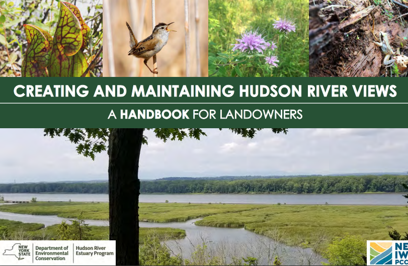
- Creating and Maintaining Hudson River Views: A Handbook for Landowners This handbook provides landowners with principles and best practices for establishing and maintaining scenic vistas within the Hudson River Valley in ways that are consistent with ecological principles and naturalistic design.
- Creating and Maintaining Hudson River Views: A Companion Training Series This three-part recorded training series provides landowners and their consultants with a more in-depth explanation of practices set forth in the handbook.
Additional Resources
Other organizations across the region are working to protect the scenic beauty of the Hudson River and the estuary watershed.
- Hudson River Art Trail
This visitors’ guide to iconic Hudson River School painting locations is a project of the Thomas Cole Historic Site in partnership with Olana, the New York State Historic Site; The Olana Partnership; the Hudson River Valley National Heritage Area; the National Park Service; the DEC; New York State Parks; and the Greene County Tourism & Planning Department. - Hudson River Valley Greenway
Greenway is a unique state agency created to preserve the scenic, natural, historic, cultural, and recreational resources of the Hudson Valley. - Scenic Hudson
Scenic Hudson works to protect the natural scenery of the Hudson River estuary watershed through land protection and advocacy. - New York State Scenic Byways
The New York State Scenic Byways program was created in 1992 by the State Legislature. The program encourages both economic development and resource conservation, recognizing that each of these aspects of a byway must be fostered to ensure the success of the other.
Helpful Links
Scenic Resources Protection Guide for the Hudson River Valley
Scenic Areas of Statewide Significance
Town and Village of Cornwall Scenic Resource Inventory
Creating and Maintaining Hudson River Views: A Handbook for Landowners
Creating and Maintaining Hudson River Views: A Companion Training Series


