Natural Areas & Biodiversity
The Hudson River begins as a small mountain lake on the side of the state’s highest peak, Mount Marcy, and ends in New York Harbor, one of the world’s busiest and most populated metropolitan ports.
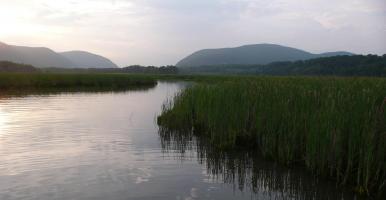
About halfway along its course it becomes an estuary, an arm of the sea, that provides spawning and nursery grounds for commercially valuable fish and crabs. The river’s uplands are covered with forests interspersed with working farms, residential development, and small cities. The varied geology of the watershed creates a tapestry of habitats, including streams, grasslands, pine barrens, cliffs, mountain ranges, caves, and wetlands, including globally rare freshwater tidal wetlands. This mix of habitats gives the region exceptional importance and supports a high diversity of species of global and national significance.
Wildlife and Habitat Conservation Framework
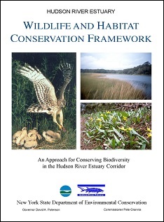
In 2006, the DEC Hudson River Estuary Program and Cornell University developed The Hudson River Estuary Wildlife and Habitat Conservation Framework (Penhollow et al.) to describe the key habitats in the estuary watershed and identify strategies for their conservation. The Framework was intended to assist individuals, non-profit groups, and government officials in developing partnerships to conserve the region’s natural heritage, emphasizing voluntary measures and utilizing local home rule.
By describing 23 areas of biodiversity significance, the Framework provides a science-based, watershed vision for conservation planning at both local and regional scales.
Read more about Significant Biodiversity Areas described in the Framework on the Conservation Priorities page.