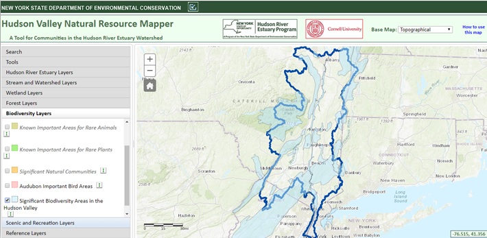
Hudson Valley Natural Resource Mapper
The Hudson Valley Natural Resource Mapper is an online, interactive tool with over 30 geographic data sets organized under seven categories:
- Hudson River Estuary
- Streams and Watersheds
- Wetlands
- Forests
- Biodiversity
- Scenic and Recreation
- Reference Layers
The mapper was designed to help users identify and understand important habitat and water resources, the connections between them, and their broader regional context. It includes many of the biological data sets that our program has developed, as well as data from the DEC and other partners.
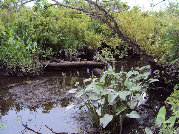
The mapper also highlights Hudson River recreation sites and areas where residents and visitors can enjoy the region's natural beauty. By bringing together information about natural features such as streams, wetlands, and large forests, as well as recreation amenities and existing protected lands, communities can begin to identify conservation priorities and strategies that can be incorporated into local land-use planning.
The Natural Resource Mapper is frequently updated with new data sets. Visit the mapper page on the DEC website to learn about recent additions and recommendations for use, view an instructional webinar, and download a fact sheet about the mapper.
Helpful Links
Hudson Valley Natural Resource Mapper (HVNRM)
Web Page about the Hudson Valley Natural Resource Mapper (with instructional webinar, data updates, and guidance)
Fact Sheet about the Hudson Valley Natural Resource Mapper
Webinar about Road Stream Crossing Data Available on the HVNRM (recording from 2026)