Maps & Data
"Truly effective biodiversity conservation in the Hudson River Estuary corridor will embrace all available conservation tools and will result from empowering people and communities to make informed decisions in their daily lives."
Hudson River Estuary Wildlife and Habitat Conservation Framework (Penhollow et al. 2006)
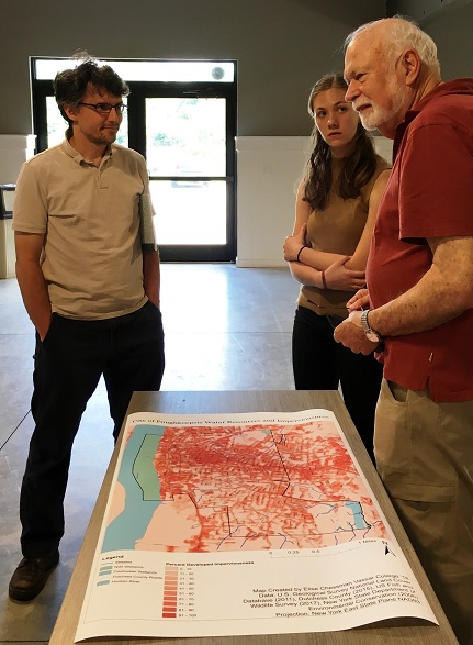
Since the start of our program, we have collaborated with partners to pursue inventory, monitoring, mapping, and modeling to improve our collective understanding of conservation priorities in the estuary watershed. We strive to ensure these data sets are available to the many planners and decision-makers working in the watershed, so that together, we can implement effective conservation strategies.
The following pages highlight data-driven initiatives supported by the Estuary Program, with links to download Geographic Information Systems (GIS) data and additional project information; and describe various interactive, online mappers that enable users to easily view different data sets.