The decisions made by planning and zoning boards are complex, challenging, and at times controversial – and often have little to do with “planning.”
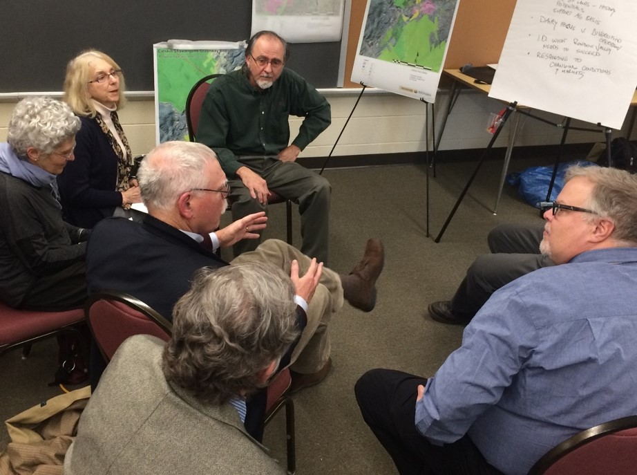
Proactive discussion of conservation priorities can save time during the planning process. Photo by L. Heady
As such, the routine docket of subdivision, site plan, re-zoning, and variance reviews isn’t the most effective platform for biodiversity conservation. Ideally, a community will not rely on these parcel-by-parcel decisions as their primary opportunity to protect nature, but instead use conservation planning to clearly identify priorities and create practices and policies to conserve what the community cares about. By doing so, the likelihood of conserving important places is greater, as the decision-making shifts from reactive to proactive; and the process is more transparent for both planners and project applicants, as community priorities are known by all involved parties well in advance.
There are, however, many strategies that communities can use to improve their understanding of priority natural areas on a site, so that land-use proposals can be reconfigured as necessary to avoid and minimize impacts. These measures can also help to streamline the review process, improve consistency, and avoid unnecessary costs.
Pre-application meetings are used by planning boards to discuss a development proposal with the project sponsor and other stakeholders, as early in the process as possible. This meeting provides a forum to discuss the needs and goals of the project and the community, and can help to reduce the overall project costs, timeline, and environmental impacts by proactively identifying conservation concerns and agreeable modifications to the proposal, before expensive engineering designs are underway.
Site resource checklists are used to learn about a particular site early in the planning process, by requesting a summary of information from a municipality’s natural resources inventory, a county mapper, or other data sources, and can be used as a point of discussion in a pre-application meeting. Appendix H of Creating a Natural Resources Inventory (Haeckel and Heady 2014) provides an example of a checklist used by the Town of Rhinebeck in Dutchess County, which also requires a corresponding site resource map; both are used to address conservation of natural and cultural resources on a project site. Hudsonia's sample checklist for site resource assessment can be customized for use by interested municipalities.
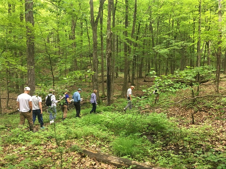
Field visits enable planners to observe habitats on a site. Photo by I. HaeckelHabitat Assessment Guidelines are designed to be used by planning boards to request more in-depth biodiversity information from land-use applicants, including data from an on-site assessment. This specific approach was first pioneered by the planning board in the Town of Milan in Dutchess County, which developed a process to better evaluate potential habitat impacts as a routine part of site plan review. Hudsonia’s Habitat Assessment Guidelines template can be adapted to suit the needs of individual municipalities interested in establishing this practice.
Site visits provide an opportunity to observe the characteristics of a site and its surroundings, both of which can be difficult to interpret or visualize from a site plan or subdivision proposal. Site visits also provide an opportunity to locate features that might be omitted from standard site plans, but are of value to the community, such as intermittent streams or woodland pools. Members of the conservation advisory council or conservation board can be invited and tasked with summarizing conservation concerns about the site for the planning board – a common and valuable practice that has been used by many municipalities in the estuary watershed.
Conservation principles can be referenced during planning deliberations and shared with project applicants, as guidance and a reminder of the overarching goal to maintain the health and function of natural areas and the resilience of the community.
Existing reports, data, and plans can help to inform the decision-making process. If there is a natural resources inventory (NRI) for the community or county, it's essential that planning and zoning members have access and understand how to use the information. Maps can be made available during monthly meetings, and if equipment is available, they can be viewed on a computer screen or projected onto the wall for easier viewing. The City of Poughkeepsie and Town/Village of Mount Kisco amended their codes to require use of their NRIs during planning reviews, and the City of Beacon charged the conservation advisory council with providing NRI training to the planning and zoning boards. In the absence of an NRI, online mappers can provide spatial information. Relevant biological data should be consulted as well, including data from the New York Natural Heritage Program. Open space plans, comprehensive plans, and other conservation plans can provide insight on the community’s priorities and important natural resources.