County and Municipal Web Maps
County Web Maps
Most counties in the estuary watershed have online mappers that include local data sets, such as parcel boundaries and county parks, along with data from state and national sources. Click on the county name to view the corresponding mapper website.
Municipal Web Map Options
As more communities undertake NRIs, interest in the use of web maps to view and disseminate GIS data is growing. While municipal web maps can provide interactive viewing capability and greater public accessibility to spatial data, most communities face technical and financial barriers to establishing their own systems. The report, Web Map Options for Local Government Use of Natural Resources Inventory Data (Don Meltz Planning and GIS 2017) was commissioned to assist local governments in understanding and evaluating the options available to them for creating interactive web maps in order to facilitate sharing NRI data.
Municipal Web Maps in Practice
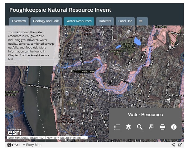
Through assistance from Vassar College students, the City of Poughkeepsie (Dutchess County) natural resources inventory (NRI) is available as an interactive web map. Easy access to the NRI maps was integral to the city’s Natural Resources Law, which was passed following adoption of the NRI in 2019. City planners can use the NRI as a starting point for project review, and the law requires developers who are going through State Environmental Quality Review (SEQR) to consult the NRI to develop a Conservation Analysis that is submitted to the city's planning board as part of the application process. The NRI project was funded through an Estuary Grant awarded to the Environmental Cooperative at Vassar Barns.